
First Real Fall Cold Front Arrives in Texas
Overview
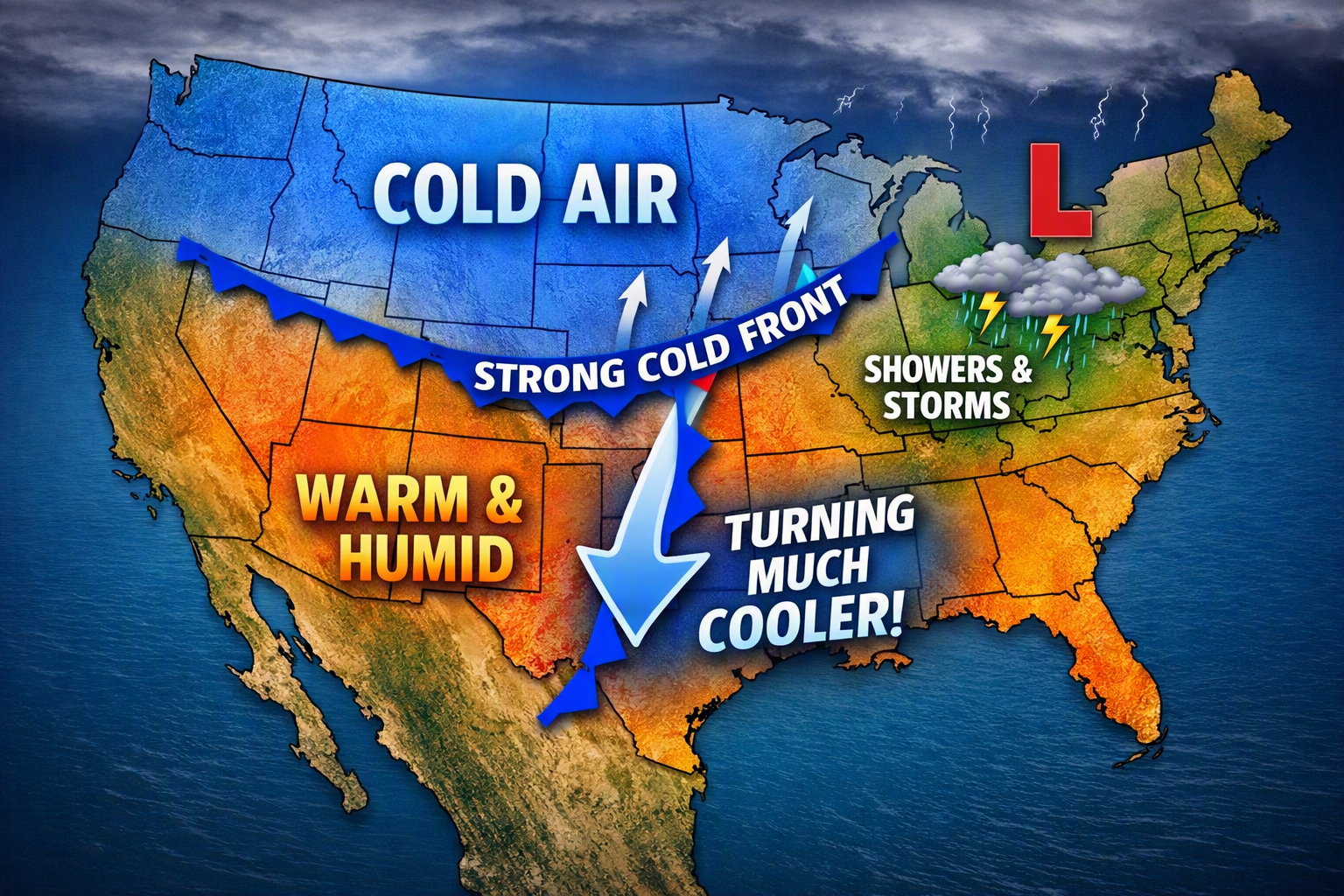
Our first genuine taste of fall is on the way as a strong cold front races through North and Central Texas Thursday night into early Friday morning. This system will mark a sharp transition from the warm, humid air we’ve had to a much cooler, breezy pattern heading into the weekend.
Thursday: The Transition Day
Thursday will serve as the in-between day—still warm and humid, but not as hot as earlier in the week. The cold front will advance into Oklahoma and West Texas during the day, then surge south Thursday night as a strong high builds out of the Northern Plains.
- Precipitation: Highest chances will be along and behind the boundary across western North Texas. A thin line of brief showers may develop along the front, but most areas will see a dry frontal passage (FROPA).
- Reason for limited rain: Weakening southerly inflow and a layer of dry mid-level air will suppress significant rainfall.
Friday: Windy and Much Cooler
Friday will feel like true fall. Temperatures will be 15–20°F cooler than Thursday, with sustained northerly winds of 20–30 mph and gusts near 40 mph. There’s about a 50% chance of reaching Wind Advisory criteria.
- Impacts: Secure Halloween decorations and any loose outdoor items Thursday night.
- Temperatures: Expect steady or falling temperatures through the day.
Saturday and Sunday: Cool, Cloud-Sensitive Weekend
High pressure settles in Friday night, bringing calmer winds and cooler mornings. Remnants of Hurricane Simon will drift overhead, introducing mid-level clouds and possibly some virga or sprinkles.
- Saturday: Morning lows near 48°F, highs around 65°F. Persistent cloud cover could hold highs closer to 60°F.
- Sunday: Lows 44°F if skies clear, 48°F if clouds linger. Highs mid to upper 60s, possibly lower 70s with sunshine.
Why Rain Chances Diminished
Earlier forecasts suggested more widespread rain with the front, but guidance has trended drier. Two key reasons:
- Moisture from Simon: Much of it remains over the Pacific until the weekend instead of being absorbed earlier.
- Model resolution: Coarse global models tend to overestimate precipitation along fronts when moisture is present.
As finer-scale guidance resolved the weakening inflow and dry mid-level air, rain chances dropped accordingly.
Bottom Line
Expect a sharp cool-down and gusty winds Friday, followed by a crisp, cloud-sensitive weekend. If clouds persist Saturday, highs will stay in the 60s; if they break, Sunday could flirt with the low 70s. Fall has officially arrived in Texas.