
A big storm system, currently located a few hundred miles off the coast of Oregon and northern California (see pic), will be our next weather maker here in DFW. This storm system promises to bring much needed rainfall to the region. Latest data continues to suggest this to be a multi-inch rain event beginning late tonight in our northwest counties through Sunday.
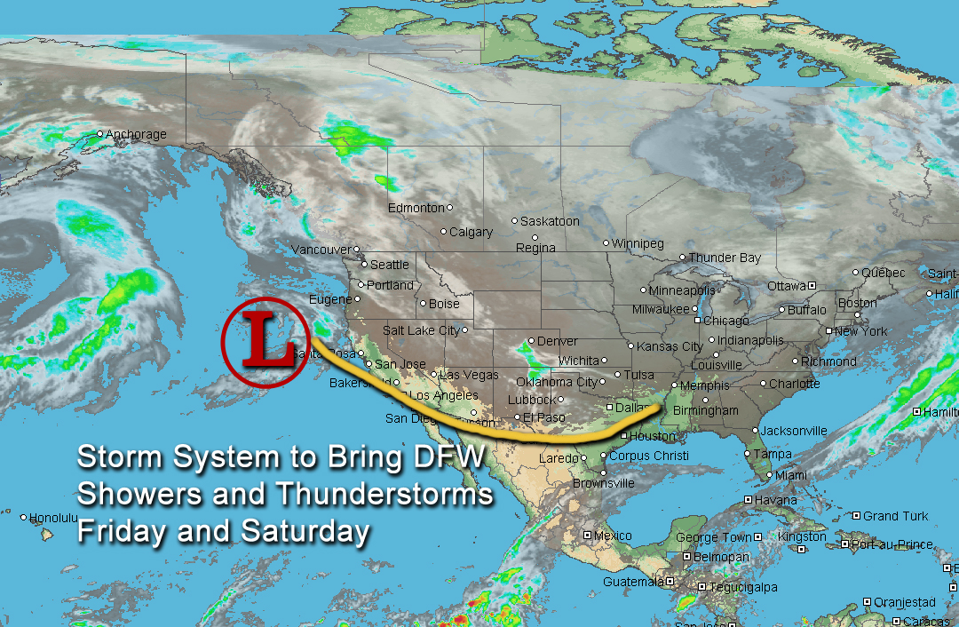
Satellite image of the storm system that will bring beneficial rainfall to DFW.
Areas from the DFW Metroplex northward to the Red River counties stand the best chance to see 2 to 4 inches (with isolated higher amounts) of rain with this system by Sunday, as locally heavy rainfall will be possible in some of the storms. Flash flooding may not be widespread due to drier soils, but local flash flooding will be possible in the heavier downpours. As the system crosses the forecast area, the associated trough will become negatively tilted (one of the strongest weather system types) which will inhibit a capping inversion aloft. This will allow for surface-based convection with increasing instability leading to the potential for severe thunderstorms out ahead of the trough. Large hail, damaging winds, and tornadoes will all be possible with this severe weather threat. While one or two strong to severe thunderstorms cannot be entirely ruled out in the DFW area, the latest data continues to suggest that the best severe weather threat still looks to be south and east of the DFW Metroplex.