
A cold front has moved through the entire forecast area. Moist flow running atop the cooler air at the surface has led to cloudy skies today. A disturbance will be approaching the region tonight from out west spreading lift across the area. PWATs (precipitable water) values are expected to climb to 1 to 1.5 inches across the area. This will lead to numerous showers to develop tonight into tomorrow night. This is not expected to be a widespread heavy rain event as all precipitation is expected to be light to moderate. Rainfall amounts will vary from as little as .10″ to just over an inch in the immediate DFW Metroplex. Heaviest totals will be to the south and east of the Metroplex. Precipitation is expected to end from west to east Wednesday night. Cold air advection, clouds, and rain will keep temperatures in the 40s all day tomorrow. Lows will drop into the upper 30s and lower 40s for Thursday morning. Another cold front with more shots at rain is expected this weekend.
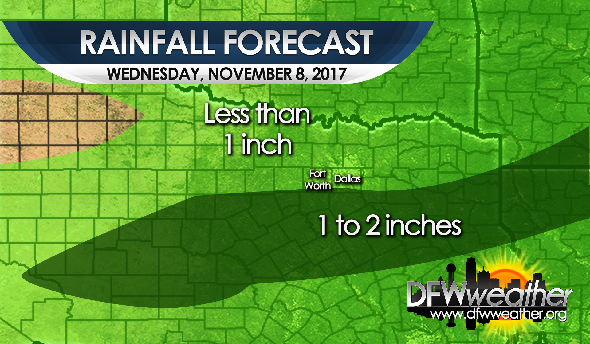
Forecast rainfall totals for Wednesday, November 8, 2017