
Our big storm system is on its way. The system is now onshore over California and will be moving over North Texas tomorrow. This continues to look like a widespread, mult-inch rain event for the DFW area. 2 plus inches of rain is possible, especially from the DFW Metroplex north and west toward the Red River counties with isolated amounts up to 4 inches in some of the heavier downpours. The data continues to suggest the severe weather threat will remain well south and east of the Metroplex; although, it is still possible that one or two strong storms cannot be entirely ruled out in our area.
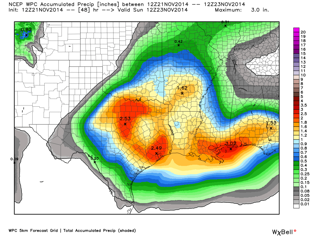
Weather Prediction Center of expected rainfall totals across the Sate. Data courtesy of WeatherBell.
The biggest concern will be the potential for heavy rainfall in our area as pWATS (precipitable water) levels increase to 1.50 inches. Well above normal for this time of year. We are still in extreme drought conditions, thus runoff will be absorbed well by area lakes and area soils very dry. Therefore, widespread flooding is not a concern, though localized, urban flash-flooding will be possible.